research field maps
Research Field Maps are now available for the mobile phone
Bluewave Geographics already provides interviewer assignment maps in paper, PDF and JPEG formats. Our new online service enables field managers to upload their own sample data so that interviewers can view assignments as overlays on interactive web maps.
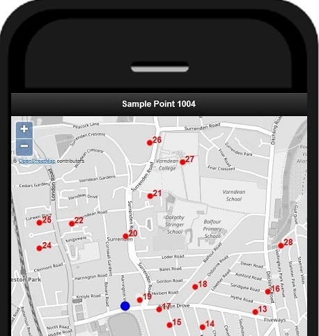
Interviewers can now view maps of their assignments on their mobiles and hand-held devices.
The service is available for both preselected address surveys and quota samples where the points are defined by boundaries.
Interviewers can switch between sample points with just a single click.
The system can be configured so that interviewers can use unique logins and only see maps for their own assignments.
Take a look at our on-line Research Field Maps demo